Images Available to Emergency Personnel, Insurers and the Public
DES PLAINES, Ill., Nov. 5, 2018 — (PRNewswire) — Technology provided by the Geospatial Intelligence Center (GIC) following Hurricanes Florence and Michael, gave the National Insurance Crime Bureau's (NICB) member companies access to ultra-high resolution images of the devastation to help enhance insurers' efforts to respond to their impacted customers.Experience the interactive Multichannel News Release here: https://www.multivu.com/players/English/8429551-nicb-geospatial-intelligence-center-catastrophe-response/
The efforts of the GIC are documented in this video produced by the NICB.
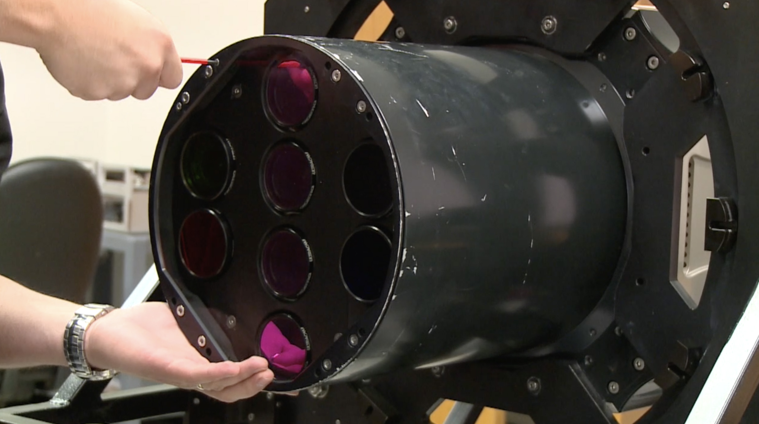
The GIC imagery was collected by a fleet of airplanes, each equipped with a $1.5 million Vexcel Imaging sensor. The planes were in the air as soon a weather permitted after the hurricanes providing images and data to GIC member companies within 24-36 hours of the flights.
This provides insurers with vital information that helps them respond and pay claims faster to help victims get on the road to recovery. The imagery is also provided at no charge to emergency personnel, first responders and law enforcement to assist in their response to the damage.
The public can also view before and after images of impacted areas on an address-by-address basis by going here.
The GIC has also mapped the areas hardest hit by previous hurricanes and disasters and those views are also available. This effort is part of the massive data collection and processing system spearheaded by the NICB whose member companies write almost 80 percent of all property/casualty insurance and over 94 percent of all auto insurance in the country.
On a regular basis, the GIC is in the process of collecting high-resolution "before" benchmark imagery on the ground and in the air in some 100 markets. Through a network of aviation companies, the GIC is prepared to reach any disaster area in the U.S. within two hours and can begin imagery collection as soon as it is safe to fly and skies have cleared.
Anyone with information concerning insurance fraud or vehicle theft can report it anonymously by calling toll-free 800-TEL-NICB (800-835-6422), texting keyword "fraud" to TIP411 (847411) or submitting a form on our website. Or, download the NICB Fraud Tips app on your iPhone or Android device.
About the National Insurance Crime Bureau: Headquartered in Des Plaines, Ill., the NICB is the nation's leading not-for-profit organization exclusively dedicated to preventing, detecting and defeating insurance fraud and vehicle theft through data analytics, investigations, training, legislative advocacy and public awareness. The NICB is supported by more than 1,100 property and casualty insurance companies and self-insured organizations. NICB member companies wrote over $461 billion in insurance premiums in 2017, or more than 81 percent of the nation's property/casualty insurance. That includes more than 95 percent ($218 billion) of the nation's personal auto insurance. To learn more visit www.nicb.org.
About Vexcel Imaging:
Based in Centennial, CO, Vexcel Imaging Inc. is a leading provider of geospatial data and services and mapping products. The Vexcel Data Program powers the GIC, providing high-resolution vertical and oblique aerial data along with derivative data products that include high-density point clouds, digital surface and terrain models, orthomosaics, and 3D TINS. It's portfolio of sensor systems consists of the industry-leading line of UltraCam digital aerial and terrestrial camera systems widely adopted by aerial mapping firms worldwide and underpinning the Vexcel Data Program and GIC. The portfolio includes a range of imaging systems including photogrammetric vertical camera systems, combined nadir and oblique image capture systems, and high-altitude wide-area mapping systems. For terrestrial collection, the car-based mobile mapping system UltraCam Mustang captures a street-level perspective, and the UltraCam Panther collects high-resolution imagery, video and LiDAR via a portable 3D reality mapping system. These systems, coupled with the UltraMap workflow software, offer geospatial data organizations and geospatial data users with highly accurate but cost-effect vertical, oblique and street level data.
Related Links
https://www.nicb.org
https://www.vexcel-imaging.com/
Get the latest on our social pages:
Facebook
Twitter
LinkedIn
YouTube
Google+
Instagram
Blog


![]() View original content:
http://www.prnewswire.com/news-releases/video-shows-how-geospatial-intelligence-center-imagery-is-transforming-catastrophe-response-300743370.html
View original content:
http://www.prnewswire.com/news-releases/video-shows-how-geospatial-intelligence-center-imagery-is-transforming-catastrophe-response-300743370.html
SOURCE National Insurance Crime Bureau
| Contact: |
| Company Name: National Insurance Crime Bureau
Frank Scafidi, 916.979.1510 Email Contact |


